NAYA REDD+
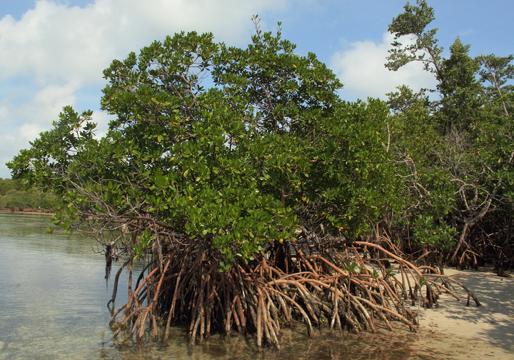
Near the Department of Cauca and Valle is the Naya river basin, which stretches from the mountainous region of the Cordillera Occidental to the Pacific Ocean. The Community Council that leads the NAYA REDD+ conservation project is located here. .
With the activities of this project, 163,683 hectares of very humid tropical forest are protected and the objective is to benefit around 18 thousand people who live in the territory.
With this project, the Community Council of the Naya River Basin implemented forest inspection and monitoring processes, reforestation of degraded areas, strengthening food security with pan-harvest crops such as bananas, bananas, Chinese potatoes, plantains, among others. In addition, it has developed agricultural production processes with chontaduro and smaller species.
Location
Buenaventura, Valle del Cauca y López de Micay y Cauca
Starting year
2016
Estado
Implementation
Bioma
Pacific/Very Wet Rainforest
Eligible hectares
163.683
Net emissions reduction
325.882
Validation Year
2022
Checker
AENOR
Validator
AENOR
Proponents
- Community Council of the Black Community of Rio Naya


